Geospatial & Space Technology Department Holds Post Pandemic Two Hydrographic Mapping Projects in 2021


Geospatial Engineering Students view navigation charts aboard the MV KNS Utafiti, at the KN Base, Mtongwe Jetty

Unit FGE434, in July 2021 and September 2021 at different organizations and institutions offering both Geospatial & Space Technology and Hydrographic Technologies related fields situated in the country, especially in Mombasa and Malindi.


DEPARTMENT OF GEOSPATIAL AND SPACE TECHNOLOGY RANKED POSITION 2 IN THE BEST PERFORMING TEACHING CATEGORY

The Chair , Department of Geospatial and Space Technology Prof. Faith karanja received the trophy and certificate on behalf of the Department.award

In the staff performance category, the Top three (3) Non Teaching staff with exemplary rating all came from the Department of Geospatial and Space Technology;

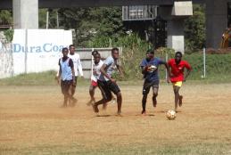
GiS In Sport

This event is planned in order to enable the Geospatial Engineering Students interact socially outside the classroom environment, loosen up as well as showcase talent on the pitch.Gis in Sport

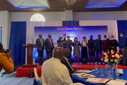
The University of Nairobi wins Kenya Space Agency Research Grant

The Kenya Space Agency (KSA) has announced the winner of the Kenya Space Agency research grant for the FY 2021/2022. This award stems from the research chair programme. KSA set aside Ksh 10 million (USD 89,245) for the award of Research Chairs (RC) for FY 2021/2022. The RCs were for 3U Nanosatellite Model Development, Land Cover Data Collection Application Development and Small-scale Crop Mapping Application using Artificial Intelligence/Machine Learning (AI/ML).

WORLD GIS DAY

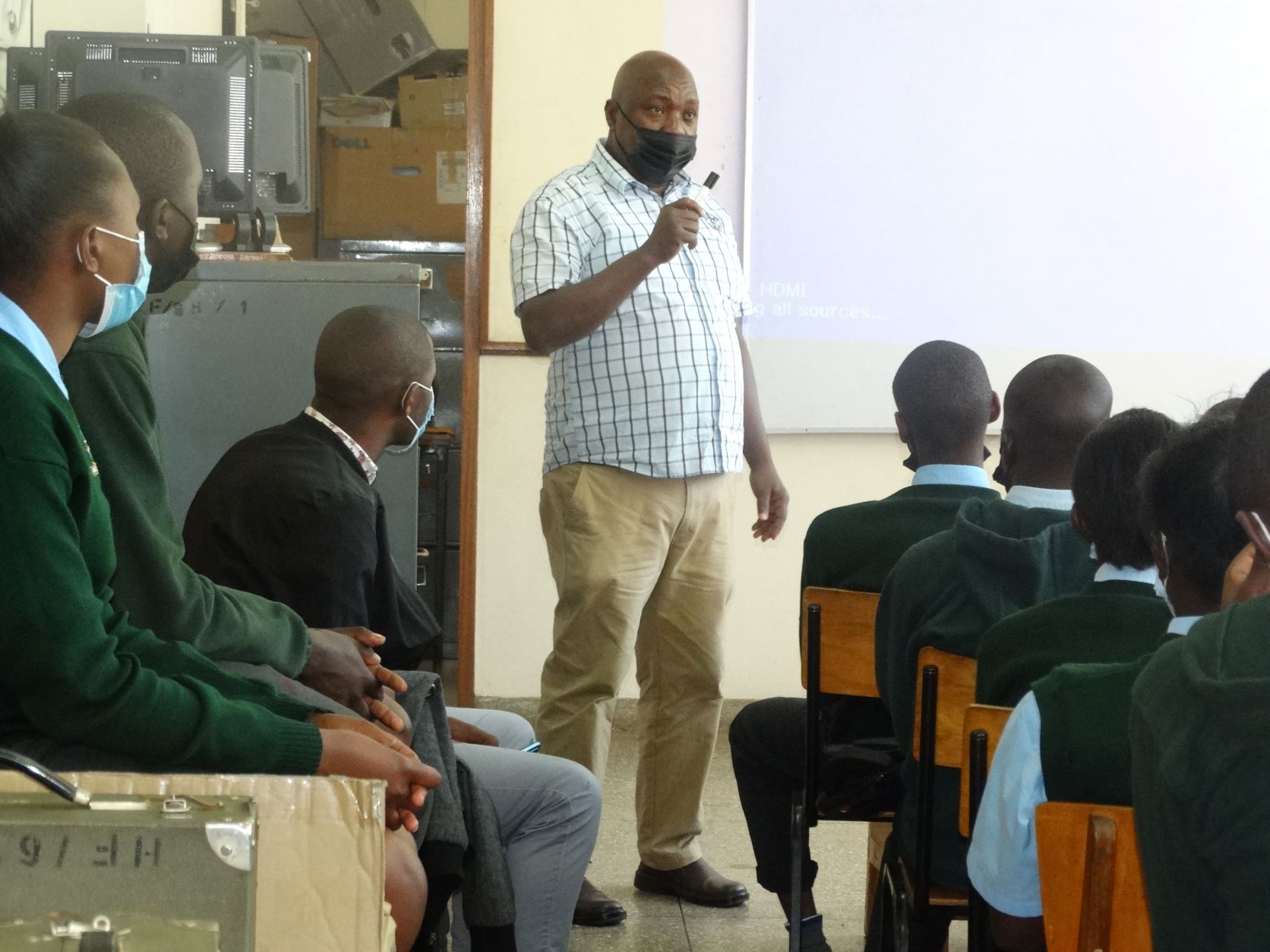
The Geospatial Engineering Students’ Association and the Department of Geospatial and Space Technology, in partnership with SpaceTech GeoConsultants, has organized the GIS week (15th -17th November) whose culmination is the Annual GIS Day on 17th November. This years’ theme is “Role of GIS in Enhancing Food Security and Climate Resilience”. GIS week presents a series of planned activities as outlined below;

• Mapathon

• Workshops & Trainings

• Keynote speech

• Presentations on the topic

• Panel discussions

Read more:

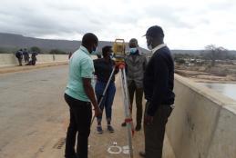
BSC GEOSPATIAL ENGINEERING STUDENTS CARRYING OUT ATHI BRIDGE DEFORMATION MONITORING

Deformation monitoring is the systematic and comprehensive measurement and tracking of the alteration in the shape and the dimensions of a civil engineering structure such as a bridge, dam and/or building; for this case Athi River Bridge deformation   which may be induced by applied loads of vehicles on transit and pedestrian use of the bridge. Such monitoring is important since data acquired can aid in further computation, deformation analysis and predictive maintenance by the relevant authorities.

Bsc Geospatial Engineering carrying out route survey of part of Kibwezi ,Kitui Road

The Geospatial Engineering students carried out a route survey of part of Kibwezi Kitui road.

Route survey typically serves earth works such as road construction, pipelines, oil and gas and other corridors and other engineering works.

Some of the outputs for these surveys include profiles, cross sections, road traverses, and route topographic maps.