0
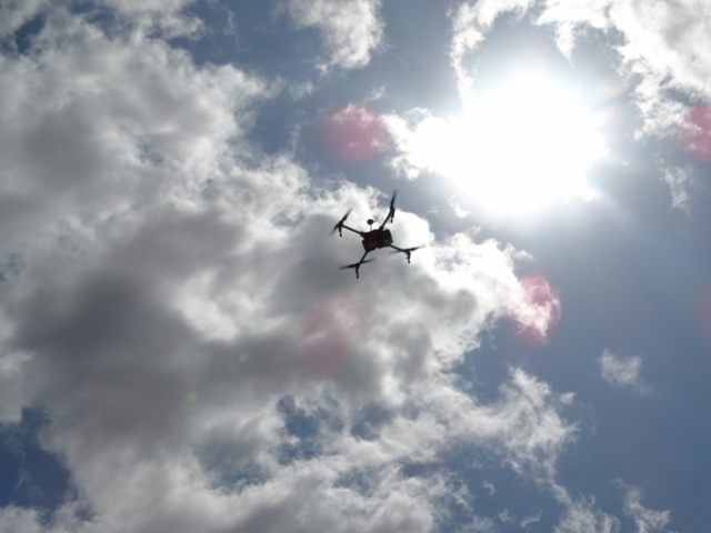
BsC Geospatial Engineering students ,Department of Geospatial and Space Technology carried out UAV mapping as part of their task during the field visit at Kibwezi UoN dry field station.
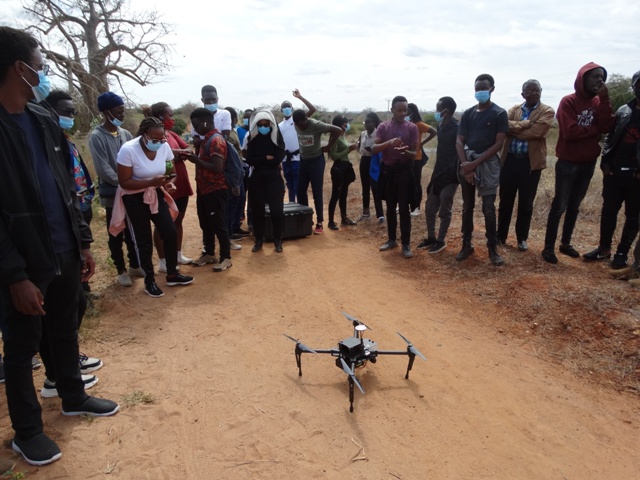
This exercise was done on 12th July 2021 using the multi-rotor drone.The purpose of this exercise was to produce a topographical map of the area of interest .High resolution images obtained from UAV mapping were used.
UAV taking images
- Log in to post comments