0
BEST STUDENTS IN FINAL YEAR PROJECT AWARDED BY THE INSTITUTION OF ENGINEERS OF KENYA
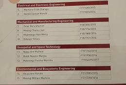
These are;Njogu Ann Muthoni,Bundi Newton Wanjau and Mwarangu Freshia Wairimu.
These are;Njogu Ann Muthoni,Bundi Newton Wanjau and Mwarangu Freshia Wairimu.
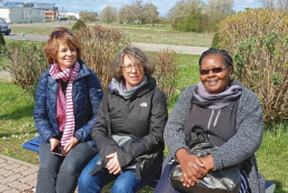
The "Cognitive Geomatics - digital teaching to raise awareness of intercultural differences in spatial awareness using the example of Germany, South Africa and Kenya" is a project as part of the Baden-Württemberg-STIPENDIUM for students - BWS plus, a program of the Baden-Württemberg Foundation. The project will be financed over three years from
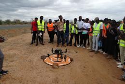
The department of Geospatial and Space Technology ,University of Nairobi emblaces the new technology of mapping.This has exposed students to the rapidly growing technologies in the field of Geospatial .With a drone, surveyors can capture many more topographic data points, hence more accurate volume measurements.
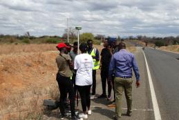
It can be done for a road that exists on the map as well as the ground, road existing on the map and not the ground and vice versa.The objective was Collection of data for route location survey using RTK.
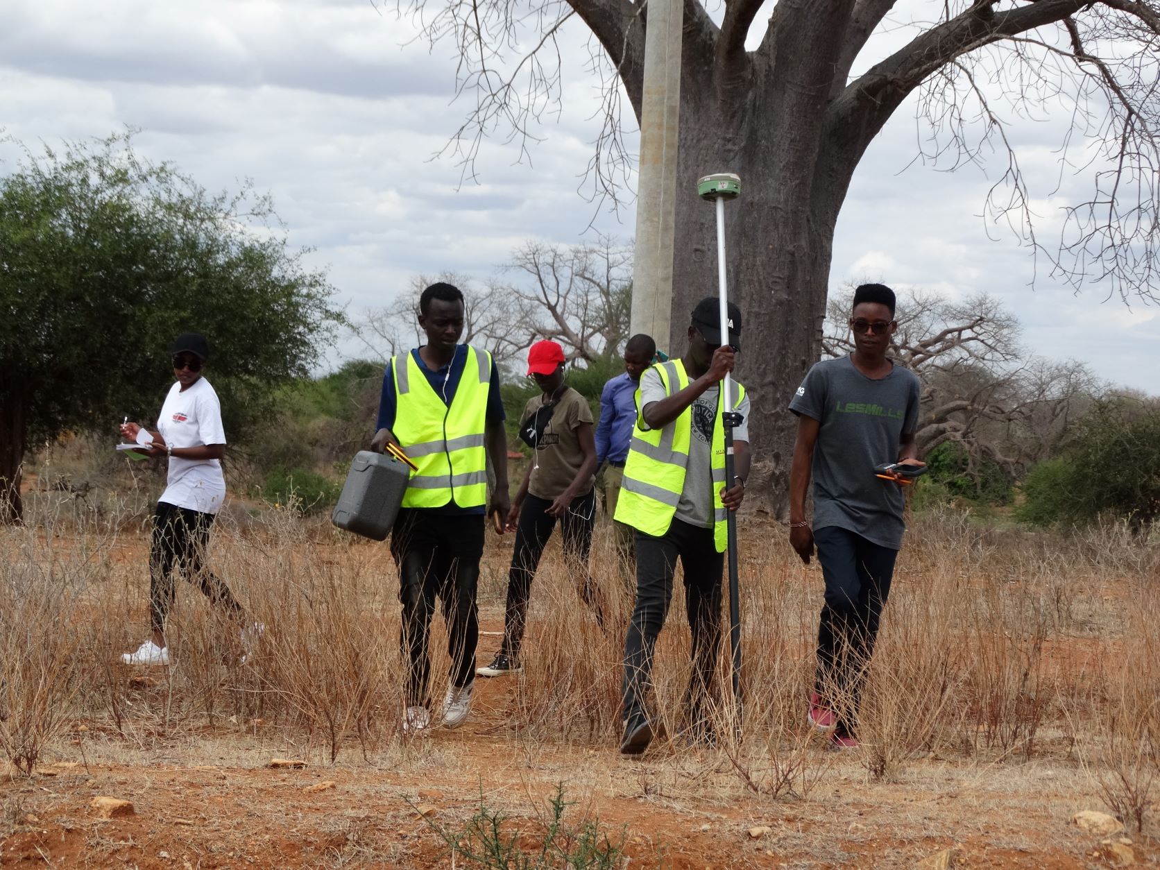
These are what are needed to start the route location survey
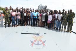
The visit was aimed at familiarizing the students with industrial aspects of Hydrographic Survey, Satellite Techniques related to Geospatial Engineering and Nautical Charts.
During the visit, the 47 students attended a brief session at the Kenya Navy Maritime Operations Center where they were apprised by Major Stephen Ayonga on Hydrography in the Kenyan context with a bias of its role in the Blue Economy Agenda.
The students were then hosted onboard Kenya Navy Ship Jasiri and briefed on the mechanisms of Maritime Engineering before proceeding for a sea ride.
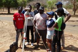
Geospatial Engineering Camp is a mandatory exercise that the students undertaking Bsc Geospatial Engineering have to fulfill before graduating.One of the task is the static GNSS obsevation for establishing control of the existing major Network consisting of atleast four points;Camp,DWA,KALUNGU,KILAWA and Mbusyani.
This exercise normally begins with a seminar which is conducted before sending the teams to the field.
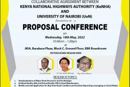
Among the topics to be discussed include;
1.Standardization of major roads structures and Footbridges.
2. Artificial Reality (AR) and Virtue Reality (VR) in Roads maintenance
3. Mobile and Web application for real time road condition and incident reporting leveraging on social media
4.Automation in land acquisition process
Among key speakers are Dr. David Siriba Department of Geospatial and Space Technology University of Nairobi,others are Dr. Eng.Siphila Mumenya and Eng.Hesbon Hayowa.
Registration is free and all are welcome.
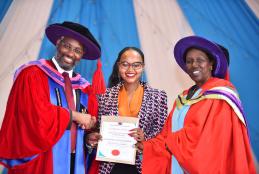
The department congradurates Mwarangu Freshia Wairimu for emerginging the best students.Other students that received awards from the department were,Newton Bundi,Clarence and Ann Njogu.
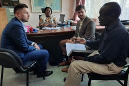
On 25th April 2022,the department of Geospatial and Space Technology received visitors from TRL Space Czech Repulic .Prof.Faith Karanja and Dr.Siriba Welcomed them .They are looking for partnership with regard to building capacity in space science and Technology.
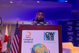
Change the World is the global alliance of young people all over the world
to participate in a UN simulation. This year's event was also attended by political leaders, sports champions and geopolitics experts.