Route location survey refers to surveys necessary for the location and construction of lines of transportation or communication that continue across country for some distance.
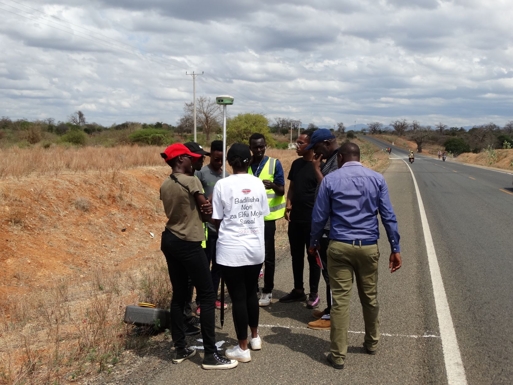
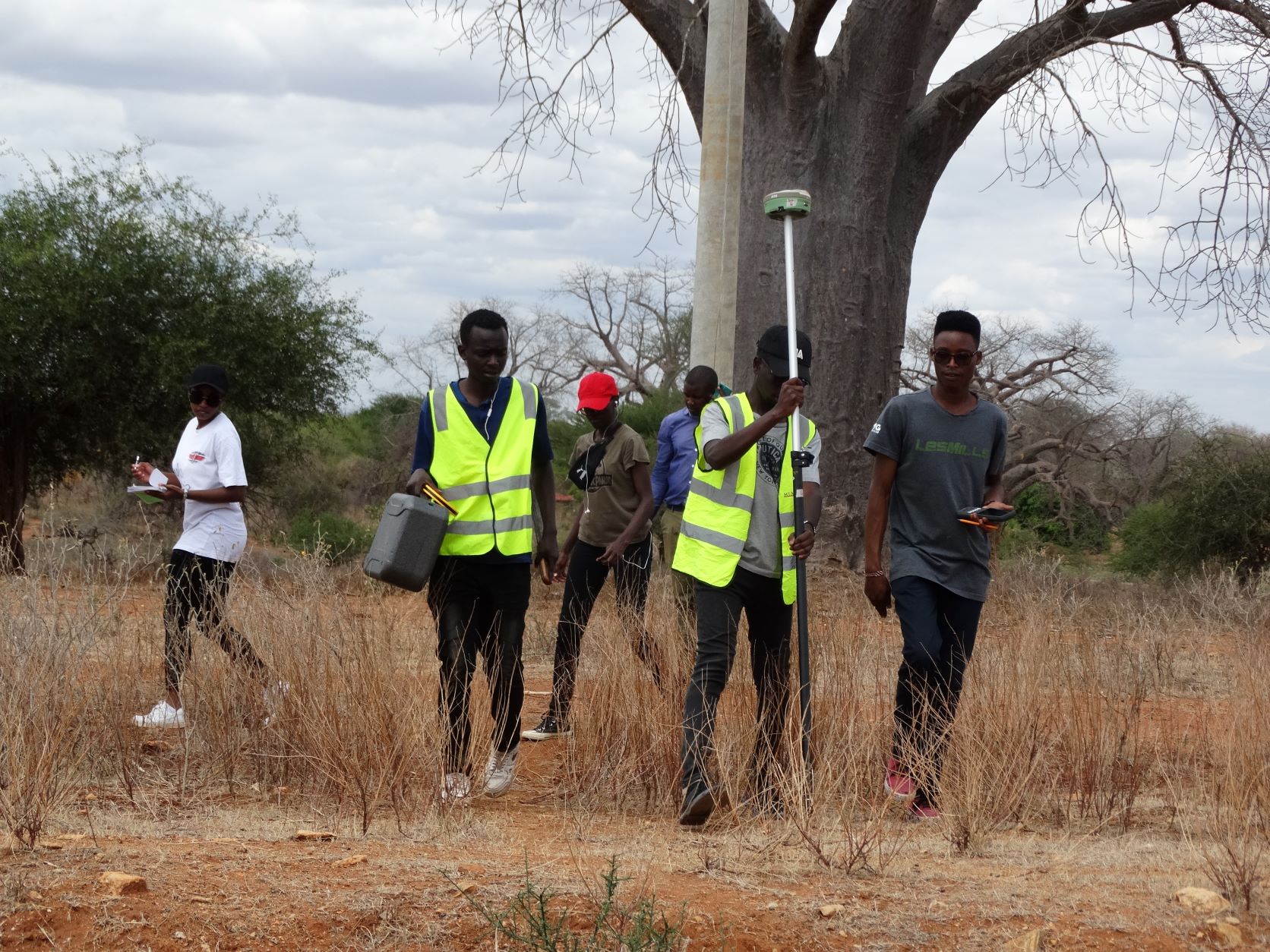
It can be done for a road that exists on the map as well as the ground, road existing on the map and not the ground and vice versa.The objective was Collection of data for route location survey using RTK.
These are what are needed to start the route location survey
Controls of a number of points
Maps: identify the map from the Survey of Kenya control points on the road and the Land Registration numbers.
Available equipment
Extension of the controls from the major network to within the area
Theoretical computations
The students had a chance to interact with the real life situation on the ground as they executed the project successfully and the results were reliable.
- Log in to post comments