0
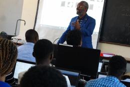
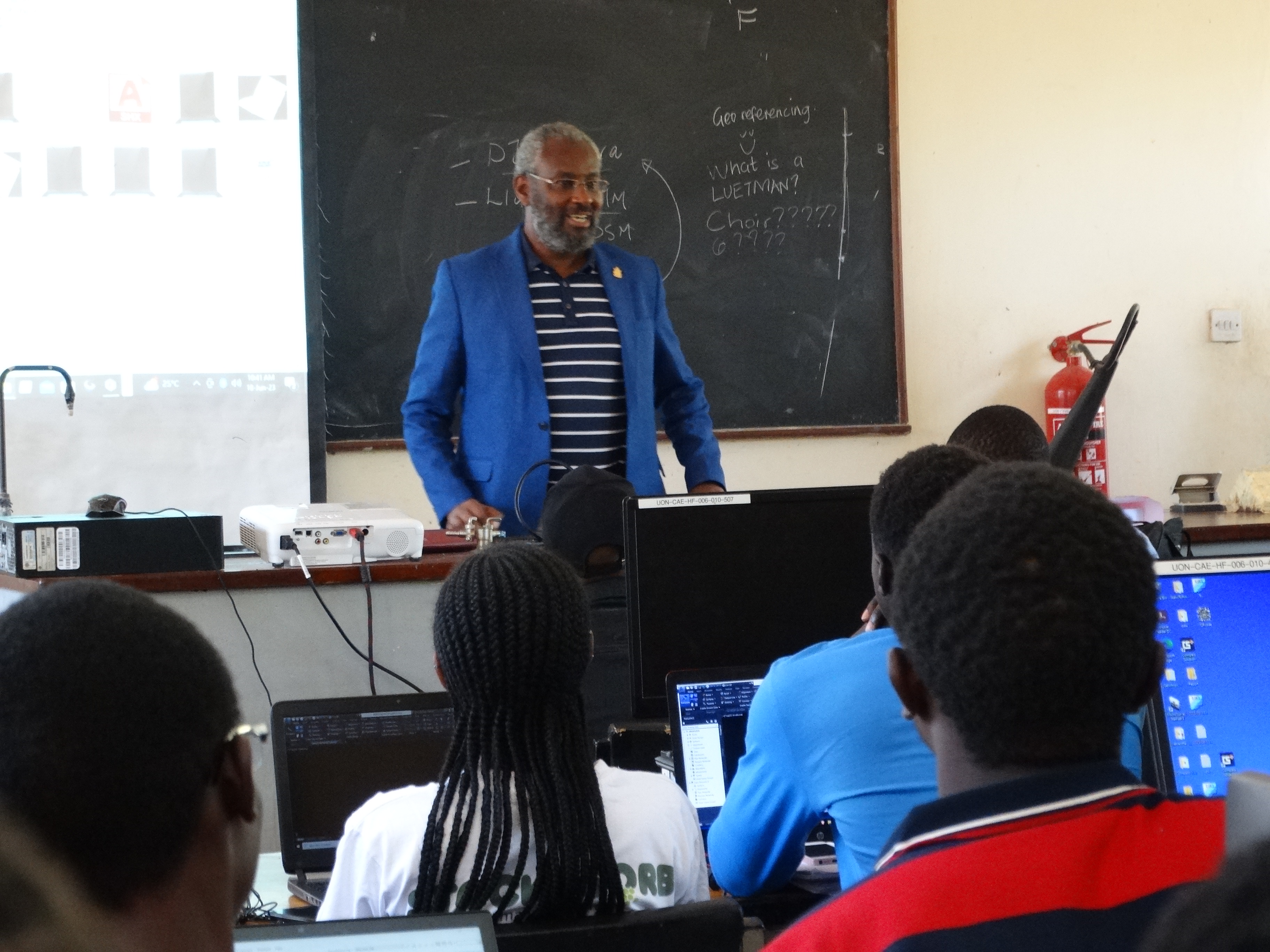
GEOSPATIAL ENGINEERING STUDENTS VISIT AT GOOD LIFE CHILDRENS HOME
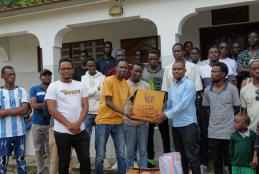
The university of Nairobi encourages the students wherever they go ,they should take time and give back to the community.
This year,the department of Geospatial and Space Technology choose to visit a children home in kilifi county during its trip to coast to carry out hydrographic mapping.In addition,the students encouraged the young ones to put more efforts and consinder taking Engineering course in the university.