0
FUNCTIONS OF ENGINEERING & CAREER OPTIONS
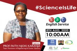
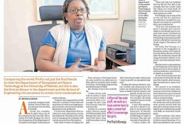
ScienceIsLife features Prof. FAITH NJOKI KARANJA, the first woman in Kenya to attain a PhD in Geo-Spatial Engineering. This event was Sponsored by the Ministry of Education (Kenya); UNESCO; National Commission For Science, Technology & Innovation (NACOSTI); The Kenya National Commission for UNESCO (KNATCOM); and Safaricom.
- Read more about FUNCTIONS OF ENGINEERING & CAREER OPTIONS
- Log in to post comments