0
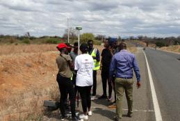
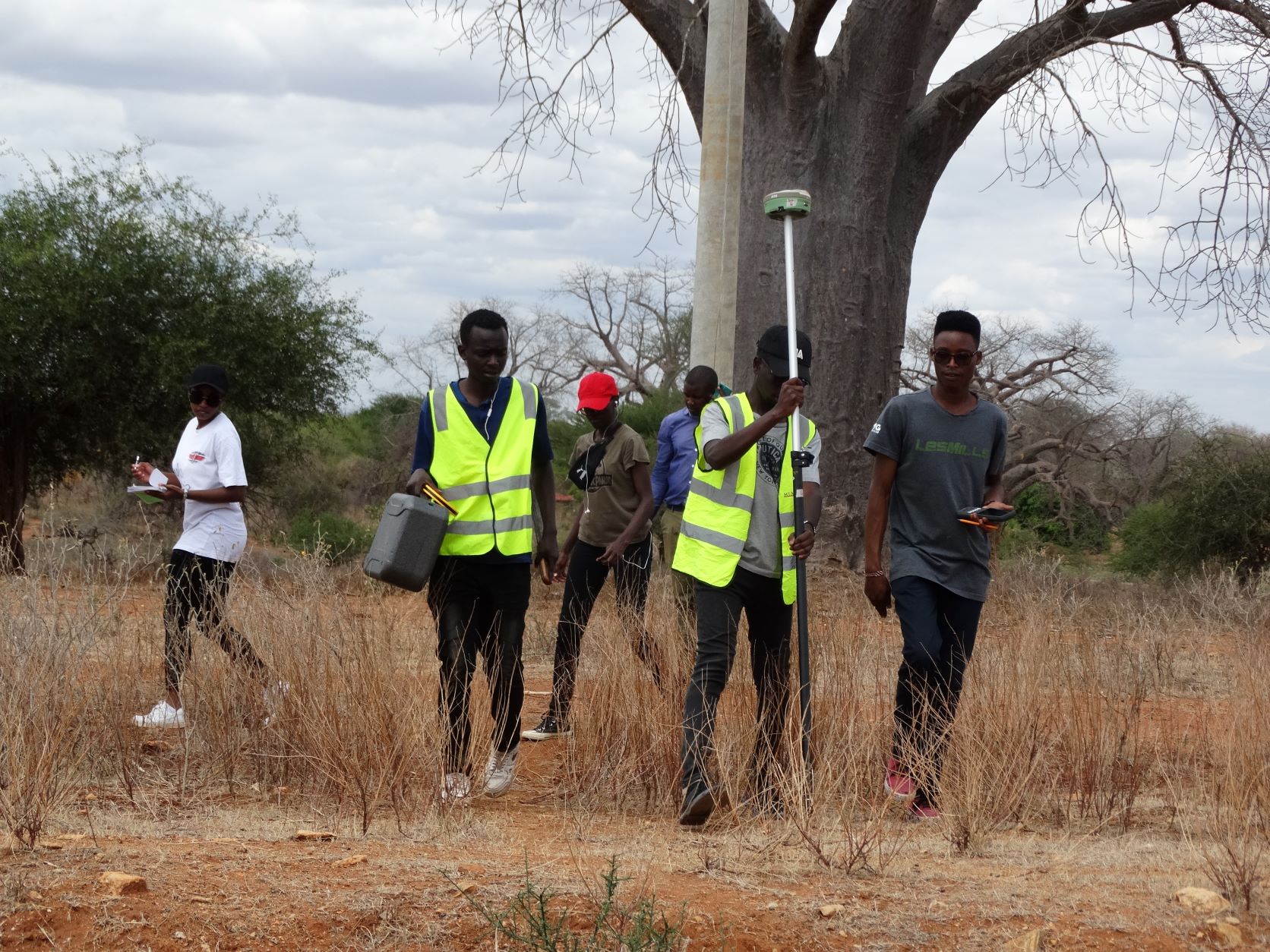
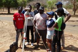
GEOSPATIAL ENGINEERING STUDENTS CARRYING OUT TOPOGRAPHICAL MAPPING USING UAV
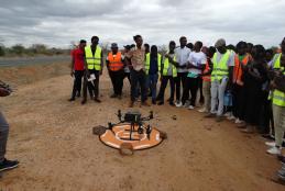
The department of Geospatial and Space Technology ,University of Nairobi emblaces the new technology of mapping.This has exposed students to the rapidly growing technologies in the field of Geospatial .With a drone, surveyors can capture many more topographic data points, hence more accurate volume measurements.