Geospatial Engineering Camp is a mandatory exercise that the students undertaking Bsc Geospatial Engineering have to fulfill before graduating.
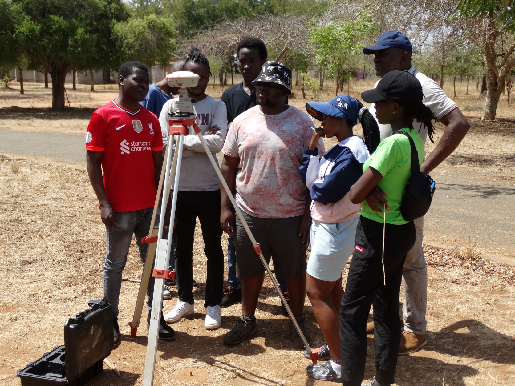
Geospatial Engineering Camp is a mandatory exercise that the students undertaking Bsc Geospatial Engineering have to fulfill before graduating.One of the task is the static GNSS obsevation for establishing control of the existing major Network consisting of atleast four points;Camp,DWA,KALUNGU,KILAWA and Mbusyani.
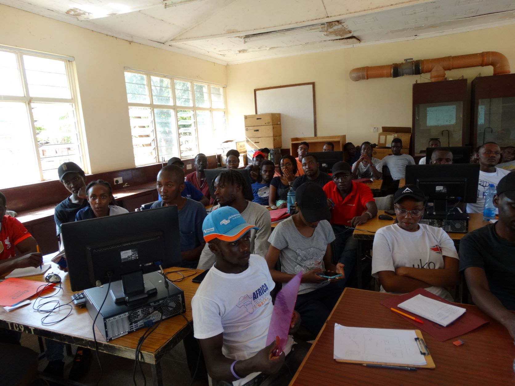
This exercise normally begins with a seminar which is conducted before sending the teams to the field.
The geographical coverage was a considerably large area with the control points located in considerably far apart, as long as 30 kilometers.
One of the point which is a survey of Kenya establishment is located at DWA rock and the students accompanied by staff observed on it for 5 hours.
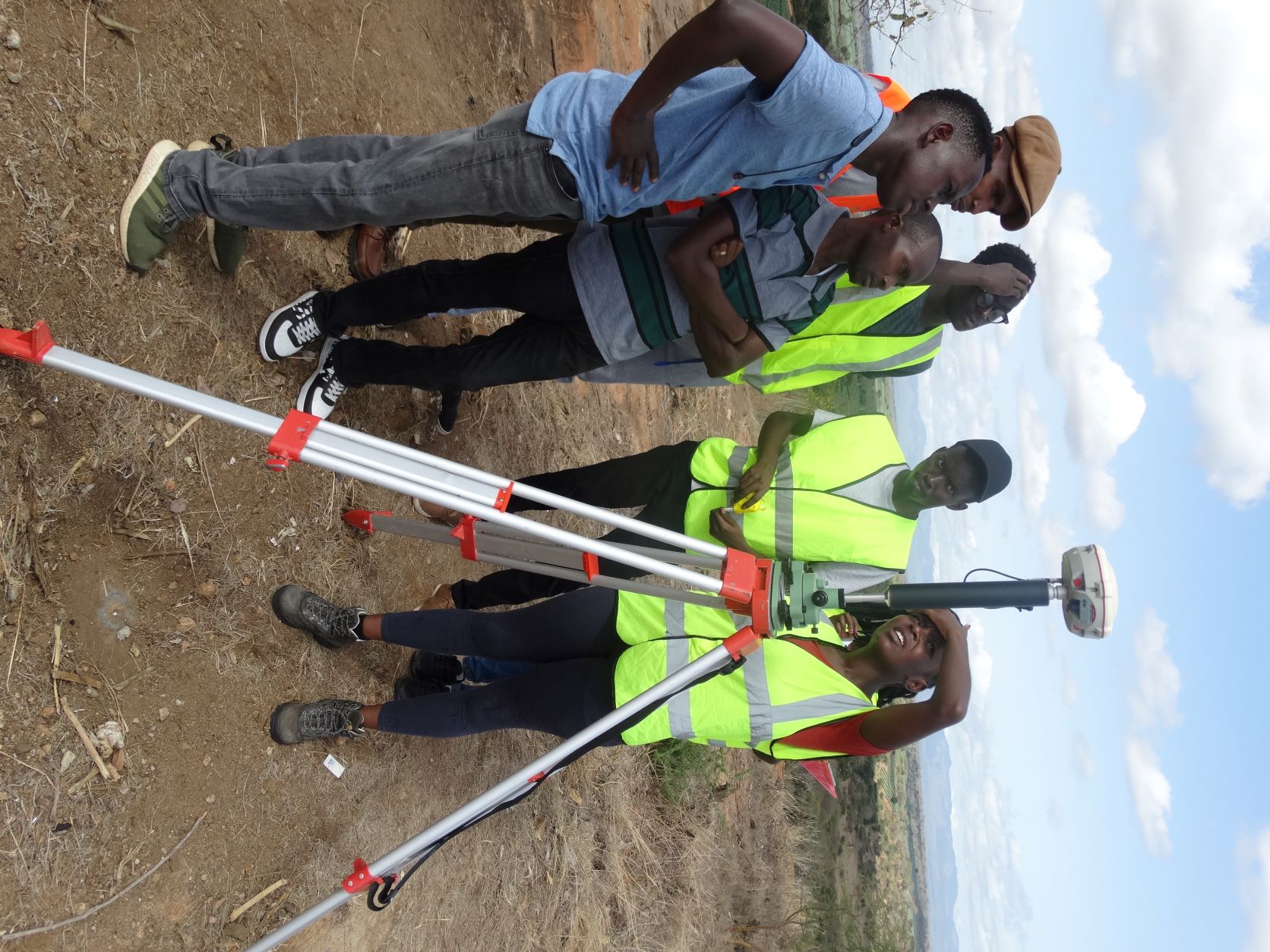
This exercise is normally conducted so as to bring the coordinates nearer to our area of interest which is normaly around Kibwezi dry Field station.
- Log in to post comments