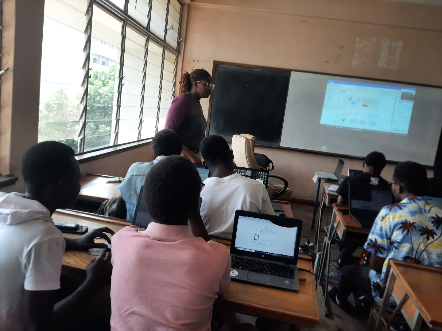
Here at The University of Nairobi, our notable highlight of the month of March, 2023 for our Geospatial Students was the practical sessions we had with SuperMap GIS by Mburu Eileen.
Each year had a session with her that was tailor made to suit where they currently are in terms of course coverage, such that it had foundational concepts for our first years, and more precise content for our students in their final year.
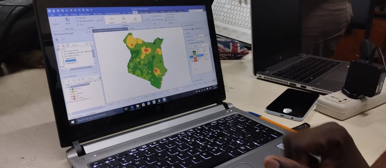
The students had a step-by-step demonstration and the training approach was project based, with the goal being to develop a mini-project. The idea was to map out multi-hazard areas in Kenya. We:
- Data Collection. We went through how the data was collected and why it was relevant to our project. This data consisted of the county boundaries as well as information of areas that have experienced different type of disasters such as drought, floods or earthquakes.
- Geocoding. In this process, we were converting an address or a description of a location into geographic coordinates, typically latitude and longitude values, which can be used to place that location on a map.
- Data Cleaning. Here, we were removing outliers, which are basically feature points that are significantly different from the other data points or features in a particular geographic area to avoid distortion of the overall picture of the geographic area under analysis.
- Mapping. We converted hazard event data points to weighted data, we used the hotspot analysis technique and finally mapped out the multi-hazard areas.
With the SuperMap GIS software, this was easy, fun and very fast to do. The desktop application is easy to work with and the session was quite enjoyable. Here is a testimonial by one of the students:
"Supermap GIS training has to be the best thing I have experienced in my course so far. It feels great to knowing how to create a map on a software using raw data. The training sessions were easy to comprehend as our trainer Eileen truly understood how to teach first years from the basics. I'm eager to fully grasp the concept" says a first year Geospatial Engineering Student.
Read more
- Log in to post comments