To be a leading centre for the development of knowledge in the…
-
 DEVELOPING MOBILE MAPS APPs IN SUPPORT OF NATURE CONSERVATION
Prof Gertrud Schaab presenting a Seminar on GIS Mobile Map App for Nature Conservation
-


The GIS World day present a showcase of the theme of the year, this year the theme is; Enhancing Food security and…
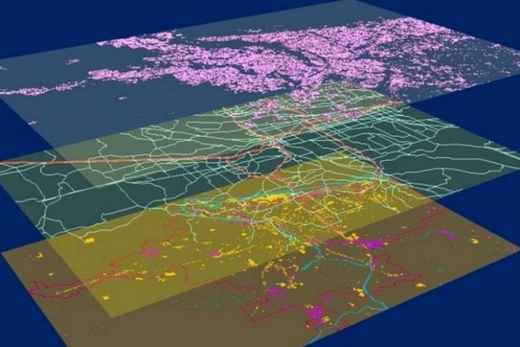
Countries in the Asia-Pacific (APAC) region are increasingly integrating geospatial data and combining their outputs…
World GIS Day is an annual event that seeks to celebrate Geographic Information Systems (GIS)…
Sunday, June 21, 2020 - 14:00
Mapping the location history of COVID-19 patients is critical in identifying areas that have been exposed to the virus.
Through the use of the geolocation data of positively-tested patients, COVID-19 hotspots can be identified even before cases are confirmed, allowing for early
Latest News & Announcements
Thursday, May 8, 2025 - 08:58
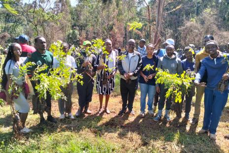
he exercise supports the government’s strategy of planting 15 billion trees by 2032 to increase Kenya's forest cover from less than 10% to 30%. Speaking during the occasion, Prof. Margret Hutchinson, Acting Vice Chancellor of the University of Nairobi, stated, "Today we stand at a crucial
Read more
Thursday, May 8, 2025 - 08:52
The Sports Week competitions this year brought intense matches that attracted energetic fan
participation through loud cheering. The first-year male football team brought awe to spectators by
Read more
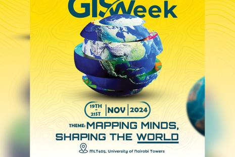
Tuesday, November 19, 2024 - 07:07
THEME: Mapping Minds, Shaping the World
This year’s theme emphasizes the transformative power of GIS technology, the
role it plays in addressing global
Read more
Wednesday, September 4, 2024 - 10:25
Linus, a driven and passionate Engineering student, teamed up with geographer Eileen Mburu to develop a groundbreaking Geographic Information System (GIS) focused on tackling food security challenges in Northern Kenya. Their project, titled "Disaster-driven food insecurity risk
Read more