In a triumph that resonates far beyond the lecture halls of the University of Nairobi, Linus Anari, a Geospatial Engineering student at the Faculty of Engineering, has been named one of the winners of NASA's prestigious Pale Blue Dot Challenge. The competition, which sought innovative solutions to pressing global issues like climate change, water scarcity, and food insecurity, drew over 1,600 participants from around the world.
Linus, a driven and passionate Engineering student, teamed up with geographer Eileen Mburu to develop a groundbreaking Geographic Information System (GIS) focused on tackling food security challenges in Northern Kenya. Their project, titled "Disaster-driven food insecurity risk mapping in Kenya (SDG 2: Zero Hunger)," is poised to transform how food security assessments are conducted in the country.

Inspired by the devastating impact of recurrent floods and droughts in Northern Kenya, particularly during the El Niño rains in the October-November-December season, the team took a unique approach. They integrated disaster data with spatial analyses to pinpoint food security hotspots in counties like Turkana and Marsabit, regions frequently at the crisis stage of food insecurity.
“Our GIS tool isn’t just about mapping; it’s about saving lives by ensuring resources are directed where they’re needed most,” Linus emphasized. Their innovation is designed to guide targeted interventions, helping authorities and humanitarian organizations mitigate the impact of extreme weather events on food security in the region.

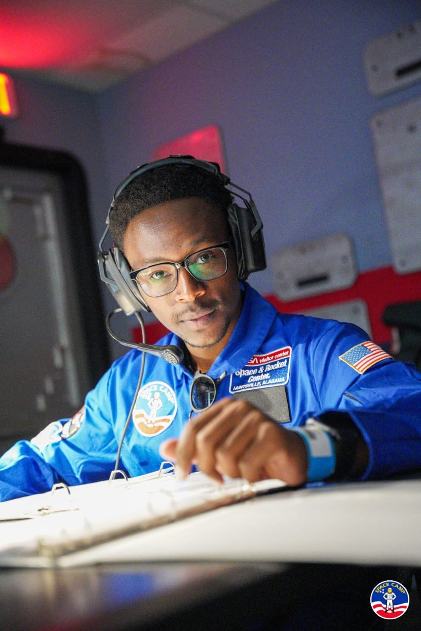
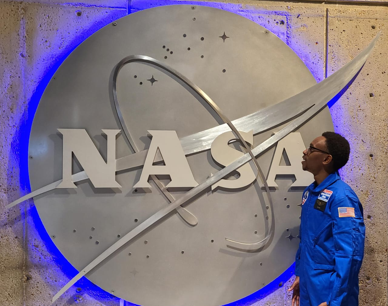
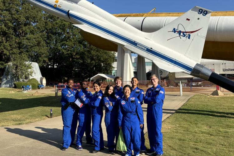
For their outstanding work, Linus and Eileen have been awarded an all-expenses-paid, 10-day space study program in the United States. Their achievement not only brings pride to Kenya but also sets a new benchmark for the role of technology in addressing real-world problems.
Currently serving as the Chairperson of the Geospatial Engineering Students' Association (2024/2025), Linus is well-known for his passion for leveraging spatial data for innovative solutions. His key skills include GIS modelling, remote sensing, cloud computing, GPS technology, and land surveying.Read more
- Log in to post comments

