With the expansive growth in Technology across the board, several mobile apps have come in handy with quite a number making use of GIS Technology. This Seminar was aimed at showcasing the development of mobile apps that can use GIS Technology in support of nature conservation.
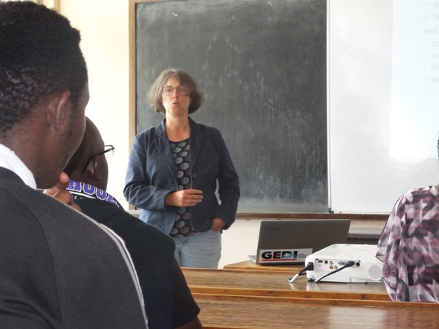
The University of Nairobi, Department of Geospatial and Space Technology held a seminar on developing a Gis mobile map apps for nature conservation.The key speaker was Prof.Gertrud Schaab, Faculty for Information Management and Media, Karlsruhe University of Applied Science (HsKA) Germany/Deutschland. She is currently carrying out several Research Projects in Kenya among them being the use of Gis Mobile Map Apps to monitor the activities of Cheetah in Kenya and also Apps to be used in Ground Truthing, Case Study of Taita Hills.
The students were challenged to think on how they can come up with helpful GIS mobile mapping apps, this as a result of the previous groups showing ability to come up with GIS web based mapping.This seminar took place on 29th January in American Wing Room 404.
- Log in to post comments