0
GOGNITIVE GEOMATICS PROJECT-SENCE OF PLACE-SATELLITE IMAGE
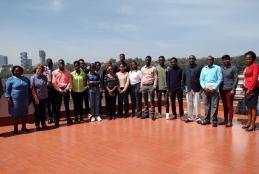
The Gognitive Geomatics Project workshop ,Satellite image Ground Truthing took place in the university of Nairobi towers on 15th February 2023.The workshop was lead by Prof.Dr.Gertrud Schaab from Karlsruhe University of Applied Sciences,Germany.