0
INTERNATIONAL DAY FOR WOMEN AND GIRLS IN SCIENCE
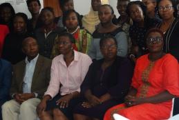
This year’s theme was: “Investment in Equality in science, Technology and Innovation in the Digitization Era for Inclusive Green Growth with Special focus on Agriculture, Technology and Digital Economy”
The culmination of this event was the launch of UoN STEM Club by the Principal College of Architecture and Engineering prof.P.Ngau.