SUITABILITY ANALYSIS OF SETTING UP A SOLAR FARM USING GEOSPATIAL TECHNIQUES: CASE STUDY ISIOLO COUNTY
Abstract The society is looking for renewable sources of energy for example, wind energy, geothermal energy, solar energy, and hydro energy because utilization of fossil fuels poses the threat to global warming. Among these renewable energy sources, utilization of solar energy has shown great potential for growth in the current international energy mix. This research combines both Multi-Criteria Evaluation (MCE) and Geographical Information Systems (GIS) techniques to assess the sustainability of land for the installation of solar farms in Isiolo county in Kenya.
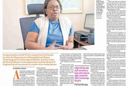
MEET KENYA'S FIRST WOMAN TO ATTAIN DOCTORATE IN GEOINFORMATICS
Prof. Faith Karanja – First female PhD earner and Associate Professor in the Geospatial field in Kenya.She is currently the Chairperson of the department of Geospatial and space technology University of Nairobi, the first female to hold the position.

