To be a leading centre for the development of knowledge in the…
-
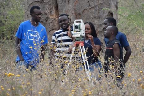
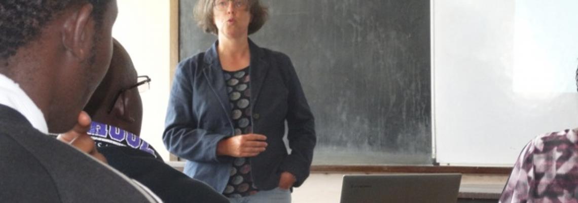 DEVELOPING MOBILE MAPS APPs IN SUPPORT OF NATURE CONSERVATION
Prof Gertrud Schaab presenting a Seminar on GIS Mobile Map App for Nature Conservation
-

The GIS World day present a showcase of the theme of the year, this year the theme is; Enhancing Food security and…
Countries in the Asia-Pacific (APAC) region are increasingly integrating geospatial data and combining their outputs…
World GIS Day is an annual event that seeks to celebrate Geographic Information Systems (GIS)…
Sunday, June 21, 2020 - 14:00
Mapping the location history of COVID-19 patients is critical in identifying areas that have been exposed to the virus.
Through the use of the geolocation data of positively-tested patients, COVID-19 hotspots can be identified even before cases are confirmed, allowing for early
Latest News & Announcements
Tuesday, March 17, 2026 - 09:41
Just like in geospatial work, success in sports requires coordination, quick thinking, and determination.
This Sports Week offers a chance to step away from the screens, strengthen connections, and recharge through healthy competition and teamwork.
Featuring:
⚽ Football,
Wednesday, November 12, 2025 - 12:23
From 18th – 20th November 2025
📍 University of Nairobi Towers
Don’t miss out on exhibitions, workshops, networking sessions, and our exciting Visualization Challenge! 🚀
👉 Register now to be part of Kenya’s biggest geospatial celebration:
Read moreMonday, October 6, 2025 - 15:29
Refreshingly punctual, we began the day with a friendly and enthusiastic welcome by registration overseen by Ms. Mumba.
Settling into the Hive Room, it took only a quick round of introductions for us to get the ball rolling. A brief overview of the important work carried out by
Thursday, May 8, 2025 - 08:58
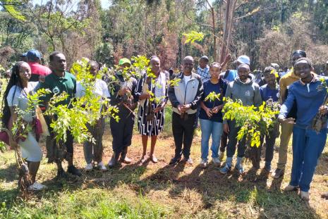
he exercise supports the government’s strategy of planting 15 billion trees by 2032 to increase Kenya's forest cover from less than 10% to 30%. Speaking during the occasion, Prof. Margret Hutchinson, Acting Vice Chancellor of the University of Nairobi, stated, "Today we stand at a crucial
Read more