0
CAREER TALK
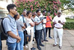
The key speaker was Doctor Nashon Adero ,a lecturer at Taita Taveta University, Kenya,he is a geospatial and systems modelling expert. Nashon teaches Mining Surveying, Engineering Surveying, GIS, among other support courses on research, science communication, and infrastructure management.
- Read more about CAREER TALK
- Log in to post comments


