Over the years, the Survey profession has undergone tremendous improvements in data capture equipment i.e.
•Theodolites
•Aerial Photography – Planes and Drones (Photogrammetry)
•Total Stations
•GPS
•Smart Stations (Total Station + GPS)
•LiDAR – Airborne and Terrestrial (Stationery and Mobile)
•SLAM LiDAR

•LiDAR – Light Detection and Ranging
- is a remote sensing technology that uses pulsed laser light to measure physical distance. It rapidly fires laser beams and measures the time it takes for emitted light to travel to the nearest surface and back. This information is used to produce a 3D Point Cloud of the features
- has been used in various applications for years to measure precise information about the physical world
- There are various types of LiDAR scanners i.e. aerial, terrestrial and mobile
- Most of these require a GPS signal connection for 3D mapping
- This poses a challenge in GPS-denied environments such as mines, inside buildings, silos, tunnels etc.
- Thus the introduction into the market of SLAM technology to cover these areas
•SLAM - Simultaneous Localization and Mapping
•technology is borrowed from the Robotics World
•is the process of mapping an area whilst keeping track of the location of the device within that area
•allows mapping of large areas in much shorter spaces of time as areas can be measured using various platforms e.g. hand-held, mobile robots, drones or vehicles.
•SLAM systems simplify data collection and can be used in outdoor or indoor environments.
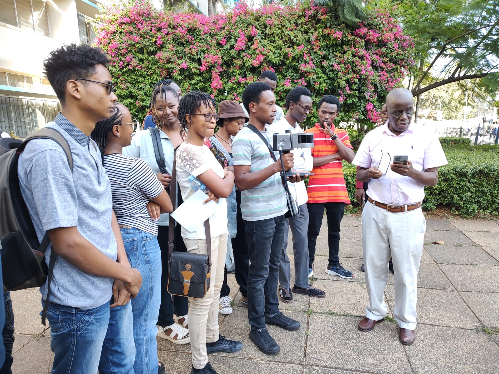
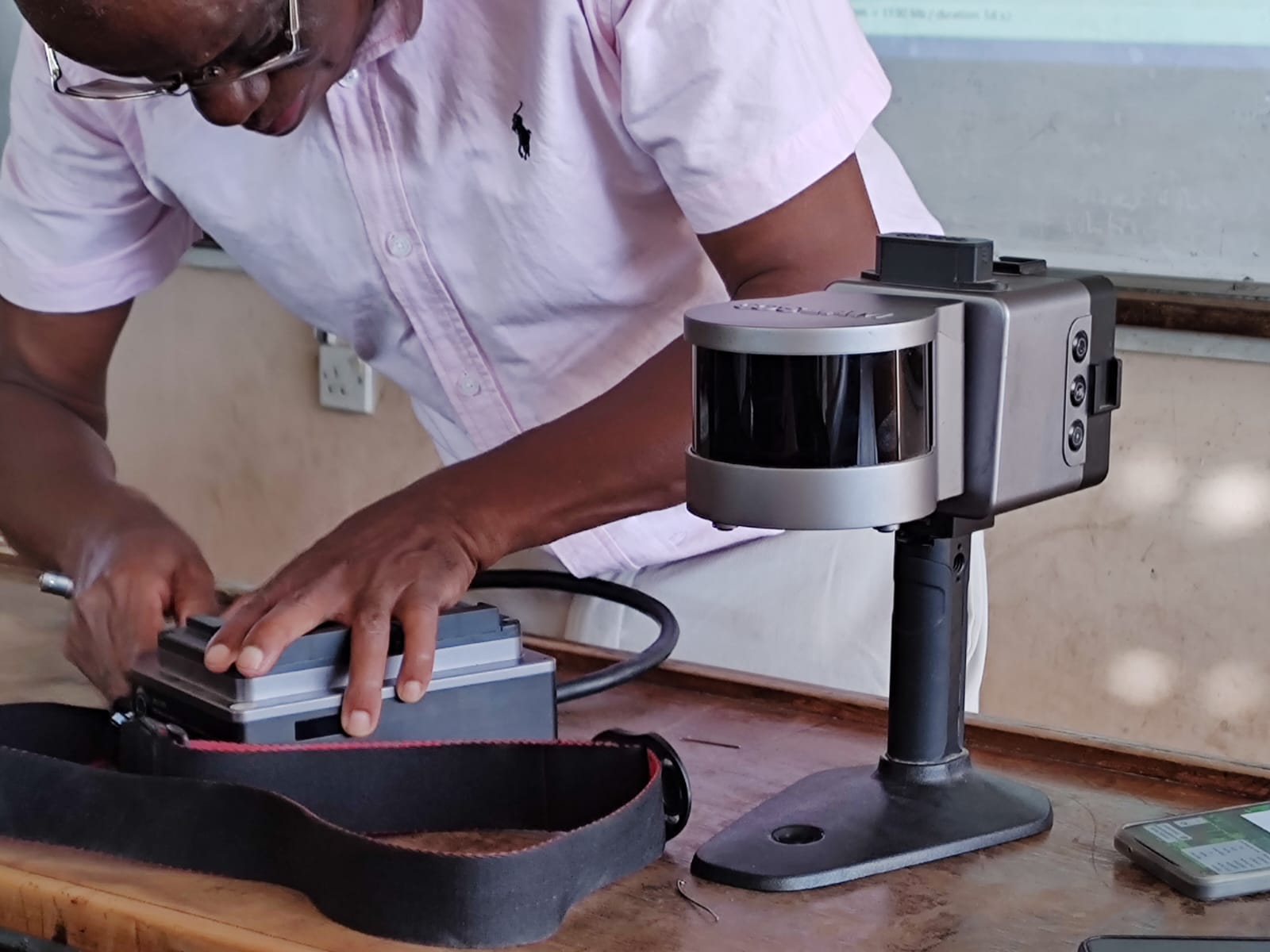
Mr.Ndirangu demonstrating on how SLAM works to the Uon -GST students
- Log in to post comments